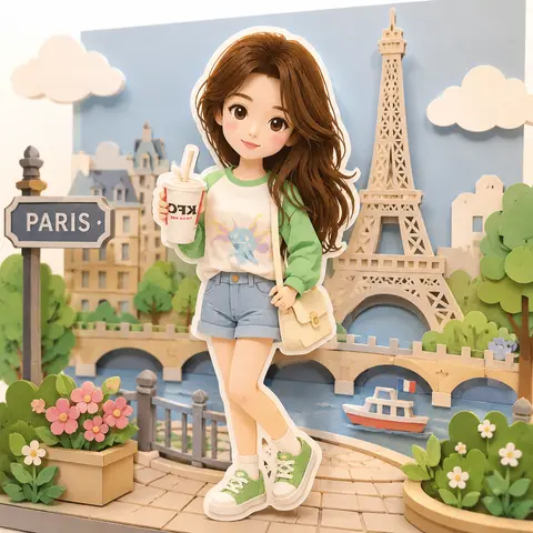
Style Preview
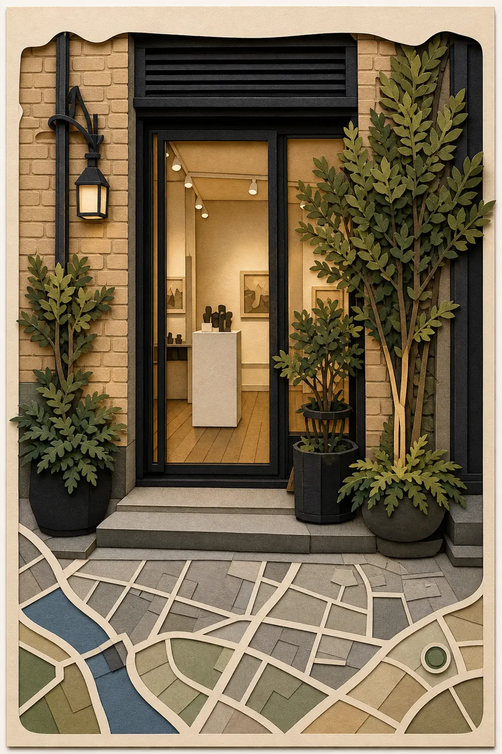
Color Palette
Style Tags
Illustrationtravelillustrationposter
Style context
This template applies a curated papercut city map poster visual direction to one uploaded reference image. It keeps the workflow simple: choose the style, upload once, and generate without tuning model settings.
Papercut City Map Poster keeps the style direction visible while the selected model controls fidelity, speed, and credits.
Continue browsing
Generator guide
See which source images fit Papercut City Map Poster, what the template changes, what to review, and when to choose a nearby style instead.
Papercut City Map Poster turns one uploaded image into an illustration result for illustrated posters, papercraft scenes, stylized places, and creative visual remixes. Its intended visual direction is A layered papercut city/place poster that turns uploaded storefront or street scenes into a graphic travel artwork. Use the preview to judge whether that composition and finish fit the final channel.
Choose a place or travel photo with recognizable architecture, landmarks, and stable perspective. After generation, compare landmark geometry, perspective, spatial relationships, and recognizable place details. The illustration, landscape, travel, and poster treatment still needs to work for illustrated posters, papercraft scenes, stylized places, and creative visual remixes, not just look attractive in the preview.
Choose this template for illustrated posters, papercraft scenes, stylized places, and creative visual remixes. Judge its illustration, landscape, travel, and poster treatment at the intended publishing size, and compare a nearby template if the preview has the wrong crop, subject scale, or amount of redraw.
The model can reinterpret the upload, so landmark geometry, perspective, or location details can change. Compare other illustration templates and nearby styles with a different layout or mood when illustrated posters, papercraft scenes, stylized places, and creative visual remixes require a different layout, mood, or level of structural preservation, and review important results beside the source before publishing.
Upload a reference image
Choose a place or travel photo with recognizable architecture, landmarks, and stable perspective.
Apply Papercut City Map Poster
Generate an image-to-image result while preserving the important subject and composition cues.
Review and continue
Compare the result with the source image, then download it or continue editing the prompt in AI Image Generator.
Papercut City Map Poster works best for travel and place uploads. Use a clear image with readable lighting and a stable composition.
It applies A layered papercut city/place poster that turns uploaded storefront or street scenes into a graphic travel artwork. The upload remains the main reference, but you should compare landmark geometry, perspective, spatial relationships, and a recognizable sense of place before publishing the result for papercut City Map Poster images for illustration workflows, papercut City Map Poster images for travel workflows, and papercut City Map Poster images for poster workflows.